
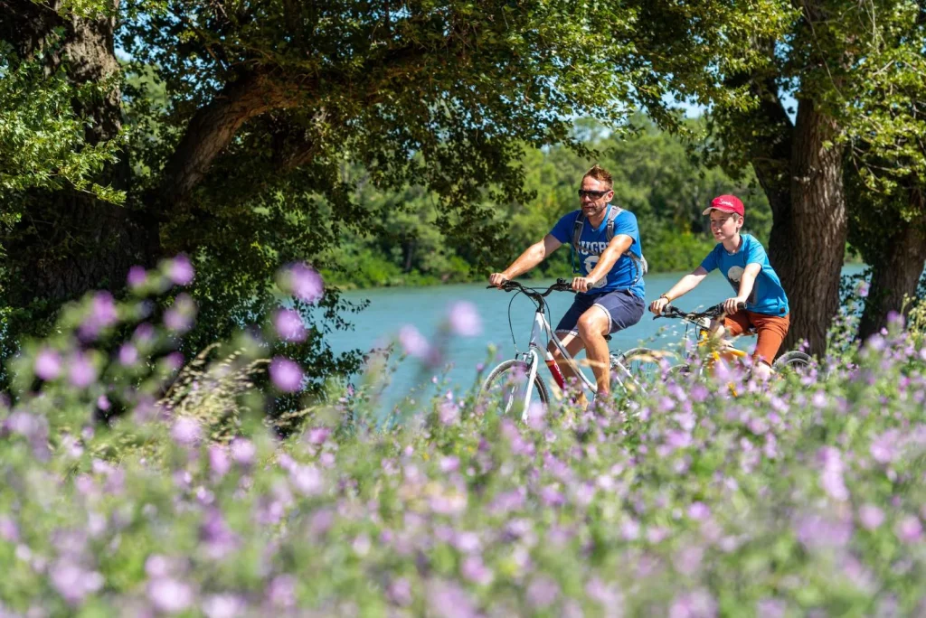
From Alpine landscapes to Mediterranean beaches, the ViaRhôna is one of France's most iconic cycle routes, connecting Switzerland to the Mediterranean. Along the Rhône, you'll follow the epic story of a river that has carved its valley over the centuries for 815 km.
Cycling enthusiasts cover the entire route in around ten days, but you can also cycle for a day on a particular section or organize a weekend with one or two stages.
We tell you everything you need to know to best organize your trip, from the mountains to the sea.
The itinerary
La ViaRhôna uses cycle paths as much as possible, along the Rhone on the dikes or along the canal sections. Where these are absent, the route takes you on small, low-traffic roads.
Prepare your trip
Before setting off on the ViaRhôna, we recommend planning your route and your stops. Tourist offices along the route have free maps, but you can also plan your trip online. www.viarhona.comSome tourist guides, such as the Guide du Routard, offer special ViaRhôna editions.
If you start thecycling tour And if you don't have a GPS or a map, don't panic! Your smartphone will do the trick. We'll explain everything in our page dedicated to micro-adventures.
Another option for cycling without losing your way: the app geoveloIt helps you find the best routes by prioritizing cycle paths, avoiding dangerous areas and adapting to your type of bike (traditional, electric, all-terrain, cargo).
EQUIPMENT
Rent a bike
Here are all rental companies with the "Accueil Vélo" label that you may encounter on your way in the Grand Avignon.
Providers


Shops


To be well received
Accueil Vélo (Cyclists welcome)


Restaurant


Office de Tourisme du Grand Avignon
Tourism institutions

THE VIA RHÔNA WITH CHILDREN
The right equipment
La ViaRhôna This route is ideal for families starting out on their cycling adventures. It's a great opportunity to teach them to ride independently, at their own pace, on safe cycle paths as well as quiet country roads. Plan to... short steps and easy (25 km maximum per day), and favour breaks in places equipped with children's games, activities, visits… As for equipment, some rental companies offer suitable equipment such as baby seats, bike trailers, cargo bikes, tow bars and traction elastics.
Here are the rental companies that offer equipment for children.
To accompany you
Providers

Providers

The stages on the Avignon side
The ViaRhôna crosses the Grand Avignon from North to South. Stages 17 and 18 will take you to Avignon if you are coming from the North, and stage 19 will take you towards the sea.
Step 17
From Lapalud to Caderousse
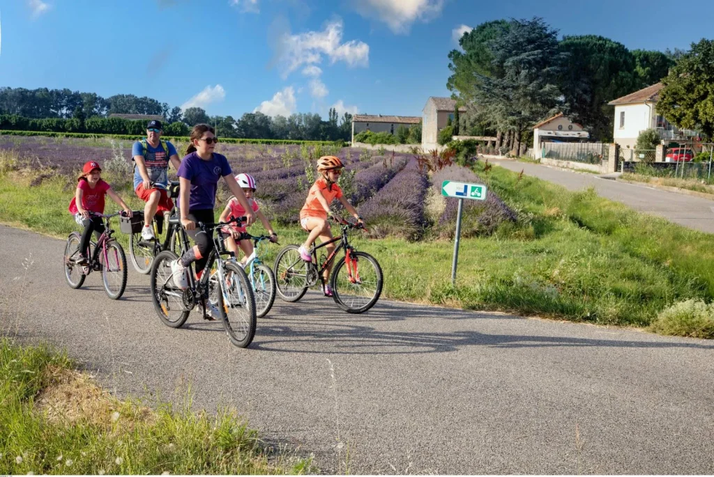
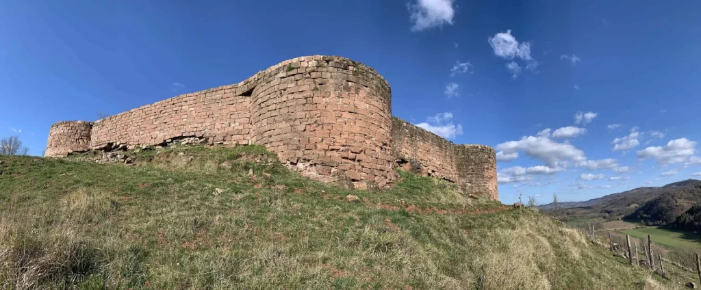
The ViaRhôna crossing in Vaucluse marks the entrance to Provence, between cicadas and lavender. This approximately 29 km route starts in Lapalud and winds through the agricultural plain on small shared roads to the Donzère Canal. Just before Mornas, the route joins the banks of the Rhône on a greenway, all the way to Caderousse. The route is punctuated by the XNUMXth-century fortress of Mornas, Lapalud and Piolenc, and Caderousse, nestled in its imposing dike, a testament to its relationship with the river.
During this stage, you can choose to deviate from your route to follow the V861 – Via Venaissia. Partially built on the old railway line, this 45 km route that connects Orange to Isle sur la Sorgue offers magical views of Mont Ventoux as well as the sublime Dentelles de Montmirail. It crosses the agricultural and wine-growing landscapes of Haut Vaucluse and Comtat Venaissin.
From the Piolenc or Caderousse lake, you can also reach Orange and its train station by road.
Step 18
Caderousse in Avignon
It's a 26km stage that combines a gourmet break (Châteauneuf-du-Pape and its renowned vineyards), nature discovery (numerous river islands dot the route) and history. This stage passes near the Revestidou lake, following the banks of the Rhône's parallel canal along a greenway to offer beautiful views of the Montfaucon CastleChâteauneuf-du-Pape and the Hers tower.
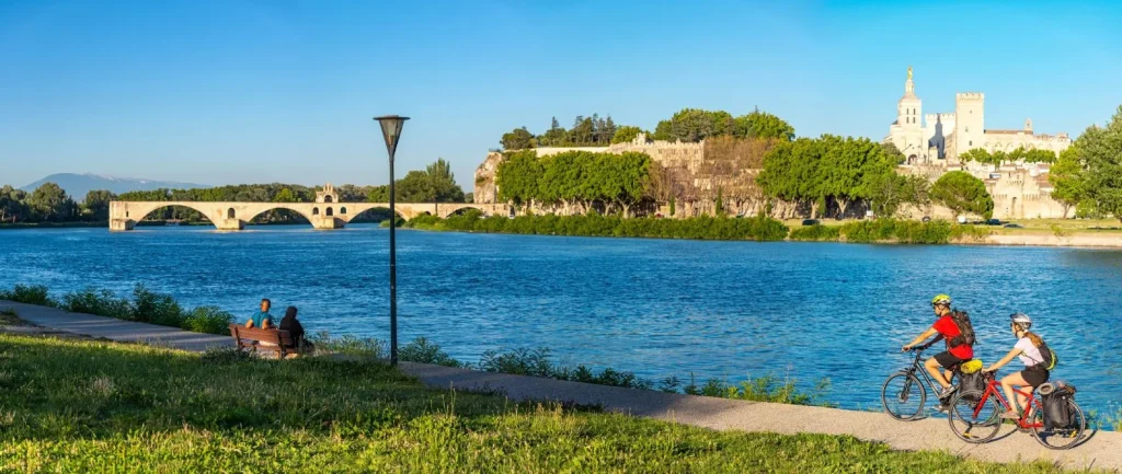
The route continues on the island of Oiselay until Armenian Bridge and then crosses a superb suspension bridge, facing the Sauveterre damThis spectacular structure suspended above the Rhône allows safe passage to Avignon, via Barthelasse Island, the largest river island in Europe. After the footbridge, the route rejoins the shared road for a few kilometers to the Parc des Libertés, then returns to a greenway until the Daladier Bridge, following the right bank of the Rhône. The arrival is "papal" and offers a breathtaking view, first of all on Villeneuve lez Avignon, then on to the city of the Popes. The majestic Rhône, the famous Pont d'Avignon, and the Mont Ventoux on the horizon. This is one of the most beautiful views of Avignon!
Connection and connected cycle routes
The Chartreux cycle route allows you to visit Villeneuve lez Avignon et Roquemaure on the right bank of the Rhône.
If you want to reach the Sorgues TER train station, you can take the Voie des Papes de Sorgues. There is also a marked link to the village of Châteauneuf-du-Pape, and a link to Avignon Central Station via the Ramparts Tower.
Easy level


Step 19
From Avignon to Beaucaire
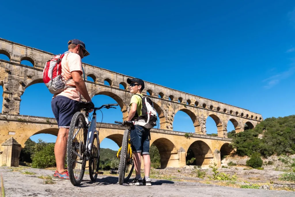
After a final glance at the city of the Popes, the ViaRhôna makes its entrance into the GardThis route of approximately 36 km, which we rejoin at the end of the Kingdom Bridge passes neararamon and zigzags along small roads between vineyards and orchards before joining the Pont du Gard greenway, which leads gently to Beaucaire, a city of art and history at the crossroads of Languedoc and the Provence.
Possible connections
At the end of the Pont du Royaume, you can cross the D2 under the bridge to reach the banks of the Rhône on the left and reach the city center of Villeneuve lez Avignon. After Montfrin, you can also join the greenway leading to the Pont du Gard and Uzès. À Beaucaire, possibility of taking The Mediterranean by bike toward Tarascon in order to discover the Alpilles and the Luberon.
Go on an adventure
Even more bike rides in Provence
Want more? Here are some suggestions for bike rides to discover this region of Provence intensely.
Easy level
La Rive droite du Rhône-balade à vélo-50
Easy level

L’Île de la Barthelasse-balade à vélo-4
Easy level

La Côte du Rhône-balade à vélo-54
Difficult level

We invite you to explore the ViaRhôna, part of EuroVelo 17, an exceptional cycling route that winds along the Rhône River, connecting Switzerland from Geneva to the Mediterranean. This iconic route is punctuated by charming cities like Lyon and Valence and captivating stages along the Ardèche and Drôme departments, offering an unforgettable journey through France's diverse landscapes. Whether you're looking for a nature adventure with camping or a cultural getaway, the ViaRhôna is the ideal route, enhanced by our specialized tourism guides, ready to transform your cycling experience into a memorable one.